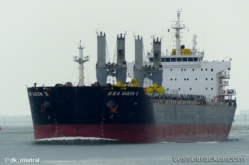
 SEA QUEEN II
Current Status
Where is the vessel?
SEA QUEEN II is currently in Near Antignano, based on AIS data received about 15h ago.
Latest AIS update:
Current position: 43.48432° N, 10.27712° E (Near Antignano)
Average speed (last 7 days): Loading…
Average speed (last 30 days): Loading…
Vessel profile: SEA QUEEN II is a Bulk Carrier with dimensions m x m.
This page combines live AIS, route history, probable destination signals, nearby traffic, and port activity for practical vessel monitoring.
The current position of vessel SEA QUEEN II is 43.48432 lat / 10.27712 lng. Updated: 2026-05-19 08:02:54 UTCNearest reference points:
- Near Livorno
- Near Guasticce
- Near Rosignano Solvay
Currently sailing under the flag of Malta ![]()
Details:
Live Vessel SEA QUEEN II Analytics (details, animations, etc.)
Recent AIS points (UTC):
2026-05-19 04:14:52 UTC · 43.48497, 10.27707 · SOG 0.4 kn · COG 258°2026-05-19 06:02:53 UTC · 43.48446, 10.27712 · SOG 0.8 kn · COG 280°
2026-05-19 07:56:52 UTC · 43.48427, 10.27704 · SOG 0.8 kn · COG 280°
2026-05-19 08:02:54 UTC · 43.48432, 10.27712 · SOG 0.7 kn · COG 285°