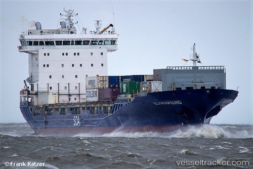
 HANSA MUNKSUND
Current Status
Where is the vessel?
HANSA MUNKSUND is currently in Near Doel, based on AIS data received about 15h ago.
Latest AIS update:
Current position: 51.28409° N, 4.24985° E (Near Doel)
Average speed (last 7 days): Loading…
Average speed (last 30 days): Loading…
Vessel profile: HANSA MUNKSUND is a Container Ship with dimensions m x m.
This page combines live AIS, route history, probable destination signals, nearby traffic, and port activity for practical vessel monitoring.
The current position of vessel HANSA MUNKSUND is 51.28409 lat / 4.24985 lng. Updated: 2026-05-19 04:13:07 UTCNearest reference points:
- Near Doel
- Near Verrebroek
- Near Kallo
Currently sailing under the flag of Portugal ![]()
Details:
Live Vessel HANSA MUNKSUND Analytics (details, animations, etc.)
Recent AIS points (UTC):
2026-05-19 01:19:07 UTC · 51.28406, 4.24986 · SOG 0 kn · COG 212°2026-05-19 01:49:05 UTC · 51.28410, 4.24983 · SOG 0 kn · COG 212°
2026-05-19 03:58:05 UTC · 51.28409, 4.24983 · SOG 0 kn · COG 213°
2026-05-19 04:13:07 UTC · 51.28409, 4.24985 · SOG 0 kn · COG 213°