 ESMERALDA
Current Status
Where is the vessel?
ESMERALDA is currently in Open sea (no nearby ports in database), based on AIS data received about 14h ago.
Latest AIS update:
Current position: 18.49186° S, 4.47776° E (Open sea (no nearby ports in database))
Average speed (last 7 days): Loading…
Average speed (last 30 days): Loading…
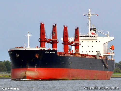
Vessel profile: ESMERALDA is a Bulk Carrier with dimensions m x m.
This page combines live AIS, route history, probable destination signals, nearby traffic, and port activity for practical vessel monitoring.
The current position of vessel ESMERALDA is -18.49186 lat / 4.47776 lng. Updated: 2026-05-22 07:07:15 UTCNearest reference points:
- Open sea (no nearby ports in database)
Currently sailing under the flag of Marshall Islands ![]()
Details:
Live Vessel ESMERALDA Analytics (details, animations, etc.)
Recent AIS points (UTC):
2026-05-22 03:59:33 UTC · -18.07949, 4.14516 · SOG 10 kn · COG 141°2026-05-22 04:23:57 UTC · -18.13430, 4.18841 · SOG 10 kn · COG 142°
2026-05-22 05:55:50 UTC · -18.33333, 4.35333 · SOG 9 kn · COG -1°
2026-05-22 07:07:15 UTC · -18.49186, 4.47776 · SOG 9.8 kn · COG 144°