 BASTIONS
Current Status
Where is the vessel?
BASTIONS is currently in 45 nm S of CAM PHA, based on AIS data received about 14h ago.
Latest AIS update:
Current position: 20.25164° N, 107.45426° E (45 nm S of CAM PHA)
Average speed (last 7 days): Loading…
Average speed (last 30 days): Loading…
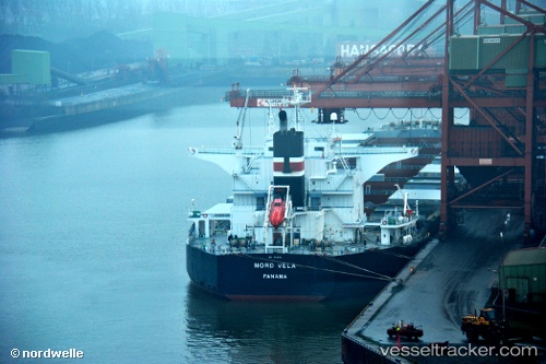
Vessel profile: BASTIONS is a Bulk Carrier with dimensions m x m.
This page combines live AIS, route history, probable destination signals, nearby traffic, and port activity for practical vessel monitoring.
The current position of vessel BASTIONS is 20.25164 lat / 107.45426 lng. Updated: 2026-05-22 16:06:23 UTCNearest reference points:
- 35 nm S of Campha
- 18 nm SE of Ha Long
- 24 nm SE of Campha
Currently sailing under the flag of Marshall Islands ![]()
Details:
Live Vessel BASTIONS Analytics (details, animations, etc.)
Recent AIS points (UTC):
2026-05-22 13:02:03 UTC · 20.75028, 107.16857 · SOG 7.6 kn · COG 166°2026-05-22 13:53:02 UTC · 20.62127, 107.24834 · SOG 11.5 kn · COG 150°
2026-05-22 16:02:23 UTC · 20.26322, 107.44865 · SOG 11.3 kn · COG 155°
2026-05-22 16:06:23 UTC · 20.25164, 107.45426 · SOG 11.4 kn · COG 155°