 PELAGIA
Current Status
Where is the vessel?
PELAGIA is currently in Near Montevideo, based on AIS data received about 14h ago.
Latest AIS update:
Current position: 34.89388° S, 56.20311° W (Near Montevideo)
Average speed (last 7 days): Loading…
Average speed (last 30 days): Loading…
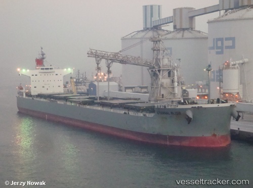
Vessel profile: PELAGIA is a Bulk Carrier with dimensions m x m.
This page combines live AIS, route history, probable destination signals, nearby traffic, and port activity for practical vessel monitoring.
The current position of vessel PELAGIA is -34.89388 lat / -56.20311 lng. Updated: 2026-05-21 16:26:11 UTCNearest reference points:
- 16 nm N of Cabo San Antonio
- 12 nm S of Piriápolis
- Near JUAN LACAZE
Currently sailing under the flag of Malta ![]()
Details:
Live Vessel PELAGIA Analytics (details, animations, etc.)
Recent AIS points (UTC):
2026-05-21 13:58:40 UTC · -34.89385, -56.20311 · SOG 0 kn · COG 223°2026-05-21 14:02:13 UTC · -34.89386, -56.20314 · SOG 0 kn · COG 223°
2026-05-21 15:48:10 UTC · -34.89386, -56.20314 · SOG 0 kn · COG 223°
2026-05-21 16:26:11 UTC · -34.89388, -56.20311 · SOG 0 kn · COG 223°