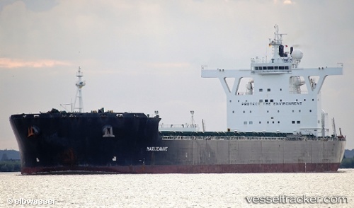
 MARIJEANNIE C
Current Status
Where is the vessel?
MARIJEANNIE C is currently in 26 nm S of Knysna, based on AIS data received about 14h ago.
Latest AIS update:
Current position: 34.45618° S, 23.21723° E (26 nm S of Knysna)
Average speed (last 7 days): Loading…
Average speed (last 30 days): Loading…
Vessel profile: MARIJEANNIE C is a Bulk Carrier with dimensions m x m.
This page combines live AIS, route history, probable destination signals, nearby traffic, and port activity for practical vessel monitoring.
The current position of vessel MARIJEANNIE C is -34.45618 lat / 23.21723 lng. Updated: 2026-05-20 22:17:05 UTCNearest reference points:
- Near Mosselbaai
- 16 nm S of Mosselbaai
- 37 nm S of Mosselbaai
Currently sailing under the flag of Malta ![]()
Details:
Live Vessel MARIJEANNIE C Analytics (details, animations, etc.)
Recent AIS points (UTC):
2026-05-20 18:04:04 UTC · -34.38780, 24.24347 · SOG 12.4 kn · COG 264°2026-05-20 19:34:53 UTC · -34.40828, 23.87405 · SOG 12 kn · COG 270°
2026-05-20 21:52:35 UTC · -34.45702, 23.31651 · SOG 12 kn · COG 272°
2026-05-20 22:17:05 UTC · -34.45618, 23.21723 · SOG 12 kn · COG 270°