 Nyland
Current Status
Where is the vessel?
Nyland is currently in Near Elleholm, based on AIS data received about 14h ago.
Latest AIS update:
Current position: 56.15676° N, 14.82154° E (Near Elleholm)
Average speed (last 7 days): Loading…
Average speed (last 30 days): Loading…
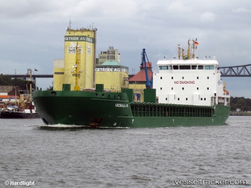
Vessel profile: Nyland is a Multi Purpose Carrier with dimensions 121m x 17m.
This page combines live AIS, route history, probable destination signals, nearby traffic, and port activity for practical vessel monitoring.
The current position of vessel Nyland is 56.15676 lat / 14.82154 lng. Updated: 2026-05-21 11:32:17 UTCNearest reference points:
- Near Sölvesborg
- Near RONNEBY
- Near Åhus
Currently sailing under the flag of Cyprus ![]()
Nyland built in 2009 year
Deadweight:
6777 tDetails:
Live Vessel Nyland Analytics (details, animations, etc.)
Recent AIS points (UTC):
2026-05-21 07:47:17 UTC · 56.15673, 14.82151 · SOG 0 kn · COG 192°2026-05-21 09:47:17 UTC · 56.15673, 14.82157 · SOG 0 kn · COG 191°
2026-05-21 11:02:19 UTC · 56.15675, 14.82154 · SOG 0 kn · COG 192°
2026-05-21 11:32:17 UTC · 56.15676, 14.82154 · SOG 0 kn · COG 192°