 SUA
SUA
Current Status
Where is the vessel?
SUA is currently in 33 nm NW of Villy-le-Moutier, based on AIS data received about 14h ago.
Latest AIS update:
Current position: 47.56543° N, 5.74904° W (33 nm NW of Villy-le-Moutier)
Average speed (last 7 days): Loading…
Average speed (last 30 days): Loading…
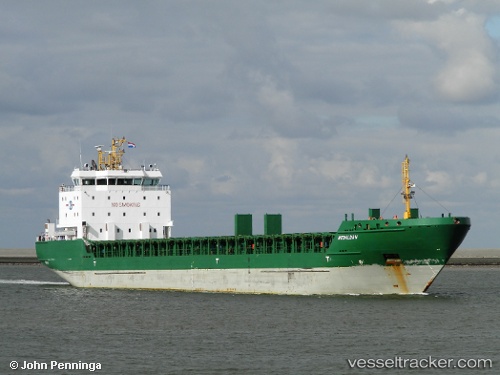
Vessel profile: SUA is a General Cargo with dimensions m x m.
This page combines live AIS, route history, probable destination signals, nearby traffic, and port activity for practical vessel monitoring.
The current position of vessel SUA is 47.56543 lat / -5.74904 lng. Updated: 2026-05-21 19:56:15 UTCNearest reference points:
- 46 nm W of SEIN
- 14 nm W of Villy-le-Moutier
- 60 nm SE of San Clodio
Currently sailing under the flag of Portugal ![]()
Details:
Live Vessel SUA Analytics (details, animations, etc.)
Recent AIS points (UTC):
2026-05-21 16:57:18 UTC · 47.93057, -5.36561 · SOG 8.4 kn · COG 209°2026-05-21 17:53:57 UTC · 47.81668, -5.48181 · SOG 9 kn · COG 218°
2026-05-21 19:50:56 UTC · 47.57758, -5.73761 · SOG 9.3 kn · COG 216°
2026-05-21 19:56:15 UTC · 47.56543, -5.74904 · SOG 9.6 kn · COG 218°