 vesseltracker.com
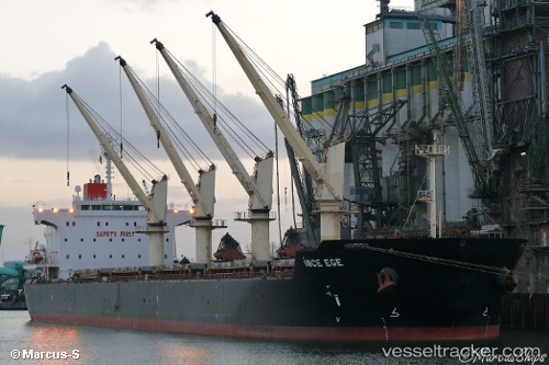
 GR ISTANBUL
Current Status
Where is the vessel?
GR ISTANBUL is currently in 25 nm W of Puerto Princesa, based on AIS data received about 14h ago.
Latest AIS update:
Current position: 9.64196° N, 118.31298° E (25 nm W of Puerto Princesa)
Average speed (last 7 days): Loading…
Average speed (last 30 days): Loading…
Vessel profile: GR ISTANBUL is a Bulk Carrier with dimensions m x m.
This page combines live AIS, route history, probable destination signals, nearby traffic, and port activity for practical vessel monitoring.
The current position of vessel GR ISTANBUL is 9.64196 lat / 118.31298 lng. Updated: 2026-05-17 22:13:40 UTCNearest reference points:
- 70 nm W of Puerto Princesa
- 35 nm SE of Brookes Point, Palawan
- 43 nm W of Malampaya
Currently sailing under the flag of Marshall Islands ![]()
Details:
Live Vessel GR ISTANBUL Analytics (details, animations, etc.)
Recent AIS points (UTC):
2026-05-16 23:22:41 UTC · 9.64124, 118.31179 · SOG 0 kn · COG 123°2026-05-16 23:22:41 UTC · 9.64124, 118.31179 · SOG 0 kn · COG 123°
2026-05-16 23:22:41 UTC · 9.64124, 118.31179 · SOG 0 kn · COG 123°
2026-05-17 22:13:40 UTC · 9.64196, 118.31298 · SOG 0 kn · COG 172°