 ELARA
ELARA
Current Status
Where is the vessel?
ELARA is currently in Open sea, approx. 541 nm off the nearest listed port, based on AIS data received about 14h ago.
Latest AIS update:
Current position: 4.97167° N, 55.66833° E (Open sea, approx. 541 nm off the nearest listed port)
Average speed (last 7 days): Loading…
Average speed (last 30 days): Loading…
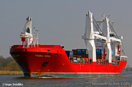
Vessel profile: ELARA is a General Cargo Ship with dimensions m x m.
This page combines live AIS, route history, probable destination signals, nearby traffic, and port activity for practical vessel monitoring.
The current position of vessel ELARA is 4.97167 lat / 55.66833 lng. Updated: 2026-05-21 20:07:48 UTCNearest reference points:
- Open sea, approx. 541 nm off the nearest listed port
- Open sea, approx. 537 nm off the nearest listed port
- Open sea, approx. 536 nm off the nearest listed port
Currently sailing under the flag of Liberia ![]()
ELARA built in 2010 year
Deadweight:
16543 tDetails:
Live Vessel ELARA Analytics (details, animations, etc.)
Recent AIS points (UTC):
2026-05-21 15:52:46 UTC · 4.12167, 55.66667 · SOG 11 kn · COG -1°2026-05-21 17:34:50 UTC · 4.44833, 55.66333 · SOG 11 kn · COG -1°
2026-05-21 19:04:47 UTC · 4.75667, 55.66000 · SOG 11 kn · COG -1°
2026-05-21 20:07:48 UTC · 4.97167, 55.66833 · SOG 12 kn · COG -1°