 LONCOMILLA
Current Status
Where is the vessel?
LONCOMILLA is currently in 83 nm SE of Aracaju, based on AIS data received about 14h ago.
Latest AIS update:
Current position: 11.76833° S, 35.82500° W (83 nm SE of Aracaju)
Average speed (last 7 days): Loading…
Average speed (last 30 days): Loading…
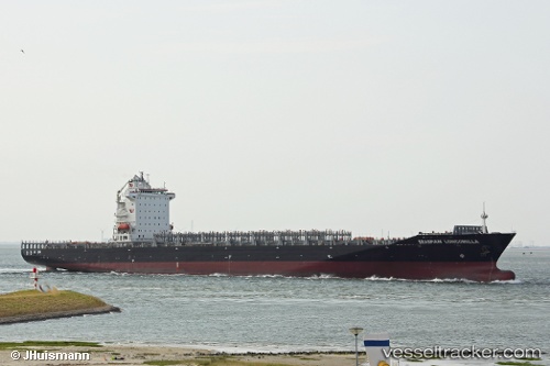
Vessel profile: LONCOMILLA is a Container Ship with dimensions m x m.
This page combines live AIS, route history, probable destination signals, nearby traffic, and port activity for practical vessel monitoring.
The current position of vessel LONCOMILLA is -11.76833 lat / -35.82500 lng. Updated: 2026-05-19 09:40:47 UTCNearest reference points:
- Near Aracaju
- Near Barra dos Coqueiros
- 157 nm SE of Maceio
Currently sailing under the flag of Liberia ![]()
Details:
Live Vessel LONCOMILLA Analytics (details, animations, etc.)
Recent AIS points (UTC):
2026-05-19 07:10:46 UTC · -11.12167, -35.58667 · SOG 16 kn · COG -1°2026-05-19 07:10:46 UTC · -11.12167, -35.58667 · SOG 16 kn · COG -1°
2026-05-19 09:22:46 UTC · -11.69167, -35.79500 · SOG 16 kn · COG -1°
2026-05-19 09:40:47 UTC · -11.76833, -35.82500 · SOG 16 kn · COG -1°