 GH HELM
Current Status
Where is the vessel?
GH HELM is currently in 274 nm W of Cocos Islands, based on AIS data received about 14h ago.
Latest AIS update:
Current position: 10.77395° S, 92.34167° E (274 nm W of Cocos Islands)
Average speed (last 7 days): Loading…
Average speed (last 30 days): Loading…
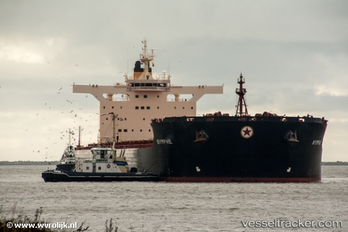
Vessel profile: GH HELM is a Bulk Carrier with dimensions m x m.
This page combines live AIS, route history, probable destination signals, nearby traffic, and port activity for practical vessel monitoring.
The current position of vessel GH HELM is -10.77395 lat / 92.34167 lng. Updated: 2026-05-23 08:21:18 UTCNearest reference points:
- Open sea, approx. 402 nm off the nearest listed port
- Open sea, approx. 403 nm off the nearest listed port
- Open sea, approx. 401 nm off the nearest listed port
Currently sailing under the flag of Bermuda ![]()
Details:
Live Vessel GH HELM Analytics (details, animations, etc.)
Recent AIS points (UTC):
2026-05-23 04:48:49 UTC · -10.57718, 92.98147 · SOG 11.2 kn · COG 255°2026-05-23 06:33:31 UTC · -10.67628, 92.66730 · SOG 11.2 kn · COG 257°
2026-05-23 07:23:21 UTC · -10.72078, 92.51507 · SOG 11.2 kn · COG 257°
2026-05-23 08:21:18 UTC · -10.77395, 92.34167 · SOG 11.2 kn · COG 253°