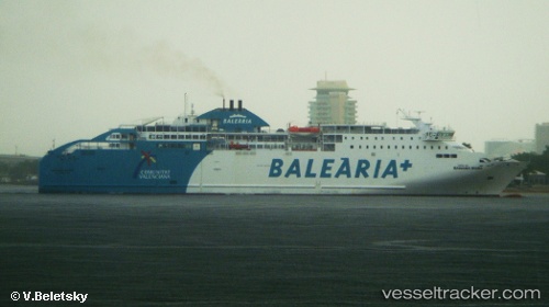
 BAHAMA MAMA
Current Status
Where is the vessel?
BAHAMA MAMA is currently in Near IBIZA, based on AIS data received about 15h ago.
Latest AIS update:
Current position: 38.90743° N, 1.45025° E (Near IBIZA)
Average speed (last 7 days): Loading…
Average speed (last 30 days): Loading…
Vessel profile: BAHAMA MAMA is a Ro-Ro/Passenger Ship with dimensions m x m.
This page combines live AIS, route history, probable destination signals, nearby traffic, and port activity for practical vessel monitoring.
The current position of vessel BAHAMA MAMA is 38.90743 lat / 1.45025 lng. Updated: 2026-05-20 06:03:07 UTCNearest reference points:
- Near IBIZA
- Near SANTA EULARIA
- Near SANT ANTONI
Details:
Live Vessel BAHAMA MAMA Analytics (details, animations, etc.)
Recent AIS points (UTC):
2026-05-20 02:02:02 UTC · 39.56545, 1.78125 · SOG 18.8 kn · COG 181°2026-05-20 04:06:43 UTC · 38.94912, 1.57880 · SOG 19.3 kn · COG 241°
2026-05-20 04:45:17 UTC · 38.90745, 1.45013 · SOG 0.4 kn · COG 259°
2026-05-20 06:03:07 UTC · 38.90743, 1.45025 · SOG 0.1 kn · COG 258°