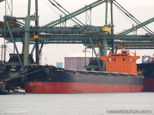
 SANTA CRUZ
Current Status
Where is the vessel?
SANTA CRUZ is currently in 88 nm E of Casselton, based on AIS data received about 16h ago.
Latest AIS update:
Current position: 46.44696° N, 10.62562° W (88 nm E of Casselton)
Average speed (last 7 days): Loading…
Average speed (last 30 days): Loading…
Vessel profile: SANTA CRUZ is a Bulk Carrier with dimensions m x m.
This page combines live AIS, route history, probable destination signals, nearby traffic, and port activity for practical vessel monitoring.
The current position of vessel SANTA CRUZ is 46.44696 lat / -10.62562 lng. Updated: 2026-05-21 14:40:20 UTCNearest reference points:
- 44 nm SE of Brady
- 57 nm S of Boboras
- 24 nm N of Aurach Bei Kitzbuhel
Currently sailing under the flag of Malta ![]()
Details:
Live Vessel SANTA CRUZ Analytics (details, animations, etc.)
Recent AIS points (UTC):
2026-05-21 12:49:18 UTC · 46.78133, -10.64458 · SOG 11.2 kn · COG 181°2026-05-21 14:40:20 UTC · 46.44696, -10.62562 · SOG 10.9 kn · COG 176°
2026-05-21 14:40:20 UTC · 46.44696, -10.62562 · SOG 10.9 kn · COG 176°
2026-05-21 14:40:20 UTC · 46.44696, -10.62562 · SOG 10.9 kn · COG 176°