 TG GEMINI
Current Status
Where is the vessel?
TG GEMINI is currently in 45 nm S of Baco, based on AIS data received about 16h ago.
Latest AIS update:
Current position: 7.36459° N, 82.61388° W (45 nm S of Baco)
Average speed (last 7 days): Loading…
Average speed (last 30 days): Loading…
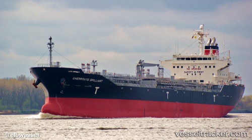
Vessel profile: TG GEMINI is a Oil/Chemical Tanker with dimensions m x m.
This page combines live AIS, route history, probable destination signals, nearby traffic, and port activity for practical vessel monitoring.
The current position of vessel TG GEMINI is 7.36459 lat / -82.61388 lng. Updated: 2026-05-22 13:35:42 UTCNearest reference points:
- Near Chiriquí Grande
- 20 nm S of El Puerto
Currently sailing under the flag of Liberia ![]()
Details:
Live Vessel TG GEMINI Analytics (details, animations, etc.)
Recent AIS points (UTC):
2026-05-22 10:13:38 UTC · 7.02371, -81.91432 · SOG 13.8 kn · COG 290°2026-05-22 11:38:42 UTC · 7.16042, -82.20870 · SOG 13.5 kn · COG 298°
2026-05-22 13:05:15 UTC · 7.31216, -82.50799 · SOG 13.8 kn · COG 296°
2026-05-22 13:35:42 UTC · 7.36459, -82.61388 · SOG 13.8 kn · COG 296°