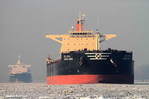
 HL SINES
Current Status
Where is the vessel?
HL SINES is currently in 247 nm SE of Bela Vista, based on AIS data received about 14h ago.
Latest AIS update:
Current position: 24.79202° S, 31.52730° W (247 nm SE of Bela Vista)
Average speed (last 7 days): Loading…
Average speed (last 30 days): Loading…
Vessel profile: HL SINES is a Bulk Carrier with dimensions m x m.
This page combines live AIS, route history, probable destination signals, nearby traffic, and port activity for practical vessel monitoring.
The current position of vessel HL SINES is -24.79202 lat / -31.52730 lng. Updated: 2026-05-21 19:57:45 UTCCurrently sailing under the flag of Marshall Islands ![]()
Details:
Live Vessel HL SINES Analytics (details, animations, etc.)
Recent AIS points (UTC):
2026-05-21 16:29:00 UTC · -24.86233, -30.85663 · SOG 10.4 kn · COG 276°2026-05-21 17:23:09 UTC · -24.84348, -31.02845 · SOG 10.4 kn · COG 276°
2026-05-21 19:57:45 UTC · -24.79202, -31.52730 · SOG 10.7 kn · COG 270°
2026-05-21 19:57:45 UTC · -24.79202, -31.52730 · SOG 10.7 kn · COG 270°