 vesseltracker.com
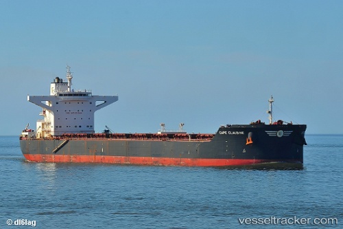
Star Claudine
Current StatusWhere is the vessel?
Star Claudine is currently in 22 nm SW of Cape Of Good Hope, based on AIS data received about 14h ago.
Latest AIS update:
Current position: 34.60665° S, 18.03414° E (22 nm SW of Cape Of Good Hope)
Average speed (last 7 days): Loading…
Average speed (last 30 days): Loading…
Vessel profile: Star Claudine is a Bulk Carrier with dimensions 45m x 292m.
This page combines live AIS, route history, probable destination signals, nearby traffic, and port activity for practical vessel monitoring.
The current position of vessel Star Claudine is -34.60665 lat / 18.03414 lng. Updated: 2026-05-18 11:55:51 UTCNearest reference points:
- 18 nm SW of Cape Of Good Hope
- Near HOUT BAY
- Near Mitchells Plain
Details:
Live Vessel Star Claudine Analytics (details, animations, etc.)
Recent AIS points (UTC):
2026-05-18 07:49:51 UTC · -34.19307, 17.44410 · SOG 9 kn · COG 127°2026-05-18 09:47:43 UTC · -34.38594, 17.73192 · SOG 9.2 kn · COG 127°
2026-05-18 10:48:41 UTC · -34.49488, 17.87667 · SOG 9.6 kn · COG 127°
2026-05-18 11:55:51 UTC · -34.60665, 18.03414 · SOG 8.6 kn · COG 127°