 Santa Ines
Current Status
Where is the vessel?
Santa Ines is currently in 48 nm E of Orzola, based on AIS data received about 15h ago.
Latest AIS update:
Current position: 29.26439° N, 12.54491° W (48 nm E of Orzola)
Average speed (last 7 days): Loading…
Average speed (last 30 days): Loading…
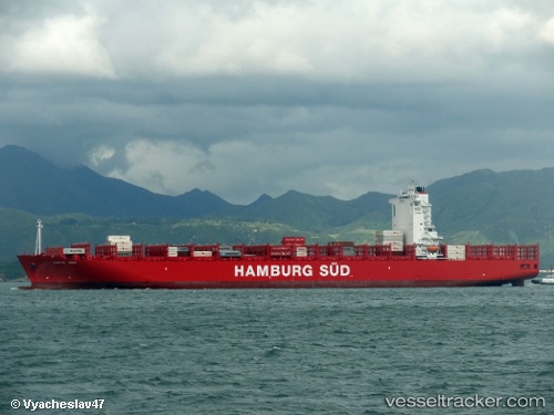
Vessel profile: Santa Ines is a Container Ship with dimensions 300m x 44m.
This page combines live AIS, route history, probable destination signals, nearby traffic, and port activity for practical vessel monitoring.
The current position of vessel Santa Ines is 29.26439 lat / -12.54491 lng. Updated: 2026-05-22 10:06:04 UTCNearest reference points:
- Near Lanzarote
- 84 nm NE of ORZOLA
- Near LAS COLORADAS
Currently sailing under the flag of Denmark ![]()
Santa Ines built in 2012 year
Deadweight:
92910 tDetails:
Live Vessel Santa Ines Analytics (details, animations, etc.)
Recent AIS points (UTC):
2026-05-22 07:29:03 UTC · 28.76993, -12.92193 · SOG 13.3 kn · COG 33°2026-05-22 08:07:52 UTC · 28.88975, -12.83080 · SOG 13.3 kn · COG 34°
2026-05-22 09:48:17 UTC · 29.20500, -12.58667 · SOG 13 kn · COG -1°
2026-05-22 10:06:04 UTC · 29.26439, -12.54491 · SOG 13.9 kn · COG 32°