 SANTA MARTA EXPRESS
Current Status
Where is the vessel?
SANTA MARTA EXPRESS is currently in Near Bremerhaven-Speckenbüttel, based on AIS data received about 14h ago.
Latest AIS update:
Current position: 53.59439° N, 8.52011° E (Near Bremerhaven-Speckenbüttel)
Average speed (last 7 days): Loading…
Average speed (last 30 days): Loading…
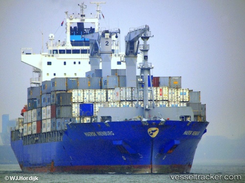
Vessel profile: SANTA MARTA EXPRESS is a Container Ship with dimensions m x m.
This page combines live AIS, route history, probable destination signals, nearby traffic, and port activity for practical vessel monitoring.
The current position of vessel SANTA MARTA EXPRESS is 53.59439 lat / 8.52011 lng. Updated: 2026-05-21 09:47:48 UTCNearest reference points:
- Near Bremerhaven
- Near Sandstedt
- Near Brake
Currently sailing under the flag of Liberia ![]()
Details:
Live Vessel SANTA MARTA EXPRESS Analytics (details, animations, etc.)
Recent AIS points (UTC):
2026-05-21 05:53:53 UTC · 53.59427, 8.52013 · SOG 0 kn · COG 151°2026-05-21 07:08:47 UTC · 53.59418, 8.52022 · SOG 0 kn · COG 151°
2026-05-21 07:47:48 UTC · 53.59433, 8.52012 · SOG 0 kn · COG 151°
2026-05-21 09:47:48 UTC · 53.59439, 8.52011 · SOG 0 kn · COG 151°