 Selenka
Current Status
Where is the vessel?
Selenka is currently in 30 nm NE of Miramar, based on AIS data received about 14h ago.
Latest AIS update:
Current position: 22.71194° N, 97.50744° W (30 nm NE of Miramar)
Average speed (last 7 days): Loading…
Average speed (last 30 days): Loading…
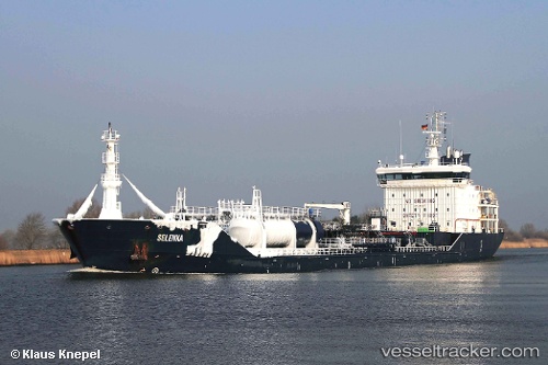
Vessel profile: Selenka is a Chemical Oil Products Tanker with dimensions 132m x 19m.
This page combines live AIS, route history, probable destination signals, nearby traffic, and port activity for practical vessel monitoring.
The current position of vessel Selenka is 22.71194 lat / -97.50744 lng. Updated: 2026-05-22 04:08:14 UTCNearest reference points:
- 25 nm E of Tuxpan
Currently sailing under the flag of Malta ![]()
Selenka built in 2009 year
Deadweight:
10745 tDetails:
Live Vessel Selenka Analytics (details, animations, etc.)
Recent AIS points (UTC):
2026-05-22 00:54:57 UTC · 22.48883, -97.88867 · SOG 0 kn · COG 182°2026-05-22 02:37:30 UTC · 22.52533, -97.77100 · SOG 11.7 kn · COG 64°
2026-05-22 03:24:48 UTC · 22.62082, -97.63213 · SOG 12.3 kn · COG 55°
2026-05-22 04:08:14 UTC · 22.71194, -97.50744 · SOG 12.5 kn · COG -1°