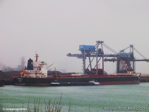
Coalmax
Current StatusWhere is the vessel?
Coalmax is currently in 64 nm NE of Pagerungan, based on AIS data received about 15h ago.
Latest AIS update:
Current position: 6.45833° S, 116.89333° E (64 nm NE of Pagerungan)
Average speed (last 7 days): Loading…
Average speed (last 30 days): Loading…
Vessel profile: Coalmax is a Bulk Carrier with dimensions 49m x 300m.
This page combines live AIS, route history, probable destination signals, nearby traffic, and port activity for practical vessel monitoring.
The current position of vessel Coalmax is -6.45833 lat / 116.89333 lng. Updated: 2026-05-22 01:07:52 UTCNearest reference points:
- 74 nm NE of Pagerungan
- 37 nm E of Pagerungan
- 117 nm W of Panakukang
Details:
Live Vessel Coalmax Analytics (details, animations, etc.)
Recent AIS points (UTC):
2026-05-21 19:25:51 UTC · -7.37333, 116.55833 · SOG 9 kn · COG -1°2026-05-21 21:46:53 UTC · -7.05500, 116.78333 · SOG 10 kn · COG -1°
2026-05-21 23:04:51 UTC · -6.82833, 116.82667 · SOG 10 kn · COG -1°
2026-05-22 01:07:52 UTC · -6.45833, 116.89333 · SOG 11 kn · COG -1°