 NORTHERN PRACTISE
Current Status
Where is the vessel?
NORTHERN PRACTISE is currently in 139 nm E of Konwelana, based on AIS data received about 15h ago.
Latest AIS update:
Current position: 5.59774° N, 83.52105° E (139 nm E of Konwelana)
Average speed (last 7 days): Loading…
Average speed (last 30 days): Loading…
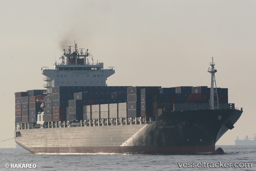
Vessel profile: NORTHERN PRACTISE is a Container Ship with dimensions m x m.
This page combines live AIS, route history, probable destination signals, nearby traffic, and port activity for practical vessel monitoring.
The current position of vessel NORTHERN PRACTISE is 5.59774 lat / 83.52105 lng. Updated: 2026-05-21 23:07:38 UTCNearest reference points:
- 127 nm W of Abakaliki
- 79 nm E of Konwelana
- 75 nm E of Konwelana
Currently sailing under the flag of Liberia ![]()
Details:
Live Vessel NORTHERN PRACTISE Analytics (details, animations, etc.)
Recent AIS points (UTC):
2026-05-21 19:59:07 UTC · 5.53837, 82.67204 · SOG 16.1 kn · COG 87°2026-05-21 20:23:31 UTC · 5.54526, 82.78125 · SOG 16 kn · COG 86°
2026-05-21 22:14:38 UTC · 5.58063, 83.28298 · SOG 16.3 kn · COG 87°
2026-05-21 23:07:38 UTC · 5.59774, 83.52105 · SOG 16.4 kn · COG 88°