 VIENNA EXPRESS
Current Status
Where is the vessel?
VIENNA EXPRESS is currently in 101 nm SW of Nootka, based on AIS data received about 14h ago.
Latest AIS update:
Current position: 48.71617° N, 128.82820° W (101 nm SW of Nootka)
Average speed (last 7 days): Loading…
Average speed (last 30 days): Loading…
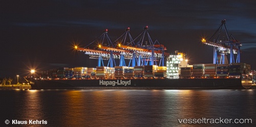
Vessel profile: VIENNA EXPRESS is a Container Ship with dimensions m x m.
This page combines live AIS, route history, probable destination signals, nearby traffic, and port activity for practical vessel monitoring.
The current position of vessel VIENNA EXPRESS is 48.71617 lat / -128.82820 lng. Updated: 2026-05-21 02:39:16 UTCNearest reference points:
- 29 nm NW of Coal Harbour
- Near PORT HARDY
Currently sailing under the flag of Liberia ![]()
Details:
Live Vessel VIENNA EXPRESS Analytics (details, animations, etc.)
Recent AIS points (UTC):
2026-05-20 22:21:52 UTC · 48.63101, -127.30996 · SOG 14.3 kn · COG 277°2026-05-21 00:30:24 UTC · 48.67500, -128.06500 · SOG 14 kn · COG -1°
2026-05-21 01:13:39 UTC · 48.68394, -128.31812 · SOG 14 kn · COG 277°
2026-05-21 02:39:16 UTC · 48.71617, -128.82820 · SOG 14.6 kn · COG 279°