 NICHOLAS G.S
Current Status
Where is the vessel?
NICHOLAS G.S is currently in 25 nm SW of Kuala Selangor, based on AIS data received about 15h ago.
Latest AIS update:
Current position: 3.05201° N, 100.73320° E (25 nm SW of Kuala Selangor)
Average speed (last 7 days): Loading…
Average speed (last 30 days): Loading…
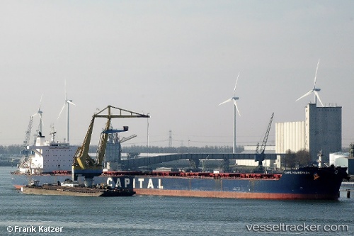
Vessel profile: NICHOLAS G.S is a Bulk Carrier with dimensions m x m.
This page combines live AIS, route history, probable destination signals, nearby traffic, and port activity for practical vessel monitoring.
The current position of vessel NICHOLAS G.S is 3.05201 lat / 100.73320 lng. Updated: 2026-05-19 05:30:44 UTCNearest reference points:
- 21 nm SW of Pulau Indah
- Near Westport/Port Klang
- Near PORT KLANG
Currently sailing under the flag of Marshall Islands ![]()
Details:
Live Vessel NICHOLAS G.S Analytics (details, animations, etc.)
Recent AIS points (UTC):
2026-05-19 02:12:35 UTC · 3.40891, 100.37396 · SOG 8.9 kn · COG 130°2026-05-19 03:35:35 UTC · 3.26591, 100.51758 · SOG 8.8 kn · COG 139°
2026-05-19 04:05:44 UTC · 3.21178, 100.56963 · SOG 9.1 kn · COG 133°
2026-05-19 05:30:44 UTC · 3.05201, 100.73320 · SOG 10.9 kn · COG 132°