 OJAS
OJAS
Current Status
Where is the vessel?
OJAS is currently in 363 nm NE of Port Mathurin, based on AIS data received about 14h ago.
Latest AIS update:
Current position: 14.84500° S, 67.22833° E (363 nm NE of Port Mathurin)
Average speed (last 7 days): Loading…
Average speed (last 30 days): Loading…
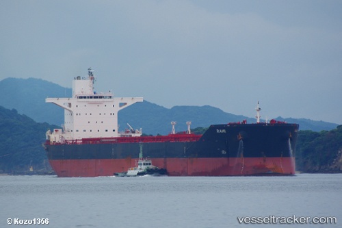
Vessel profile: OJAS is a Bulk Carrier with dimensions 45m x 290m.
This page combines live AIS, route history, probable destination signals, nearby traffic, and port activity for practical vessel monitoring.
The current position of vessel OJAS is -14.84500 lat / 67.22833 lng. Updated: 2026-05-22 16:48:12 UTCNearest reference points:
- 398 nm NE of Port Mathurin
- Open sea, approx. 400 nm off the nearest listed port
- Open sea, approx. 401 nm off the nearest listed port
Currently sailing under the flag of Panama ![]()
OJAS built in 2011 year
Deadweight:
175264 tDetails:
Live Vessel OJAS Analytics (details, animations, etc.)
Recent AIS points (UTC):
2026-05-22 13:21:11 UTC · -15.19333, 66.71000 · SOG 10 kn · COG -1°2026-05-22 13:23:03 UTC · -15.19050, 66.71595 · SOG 10.9 kn · COG 55°
2026-05-22 15:51:08 UTC · -14.94167, 67.08333 · SOG 10 kn · COG -1°
2026-05-22 16:48:12 UTC · -14.84500, 67.22833 · SOG 10 kn · COG -1°