 RC GEMINI
Current Status
Where is the vessel?
RC GEMINI is currently in 265 nm N of Fernando De Noronha, based on AIS data received about 14h ago.
Latest AIS update:
Current position: 0.47833° N, 31.48744° W (265 nm N of Fernando De Noronha)
Average speed (last 7 days): Loading…
Average speed (last 30 days): Loading…
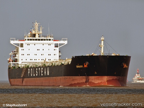
Vessel profile: RC GEMINI is a Bulk Carrier with dimensions m x m.
This page combines live AIS, route history, probable destination signals, nearby traffic, and port activity for practical vessel monitoring.
The current position of vessel RC GEMINI is 0.47833 lat / -31.48744 lng. Updated: 2026-05-19 00:21:10 UTCNearest reference points:
- Open sea, approx. 403 nm off the nearest listed port
- Open sea, approx. 404 nm off the nearest listed port
- Open sea, approx. 405 nm off the nearest listed port
Currently sailing under the flag of Marshall Islands ![]()
Details:
Live Vessel RC GEMINI Analytics (details, animations, etc.)
Recent AIS points (UTC):
2026-05-18 20:06:51 UTC · -0.36167, -31.76498 · SOG 12.3 kn · COG 14°2026-05-18 22:17:59 UTC · 0.06867, -31.62490 · SOG 12.4 kn · COG 17°
2026-05-18 22:22:39 UTC · 0.08400, -31.61955 · SOG 12.4 kn · COG 17°
2026-05-19 00:21:10 UTC · 0.47833, -31.48744 · SOG 12.7 kn · COG 16°