 vesseltracker.com
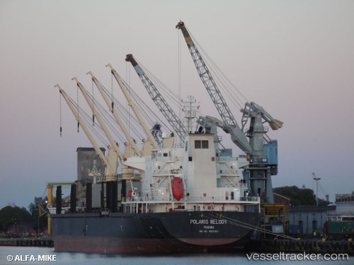
 AM PURPOSE
Current Status
Where is the vessel?
AM PURPOSE is currently in 16 nm N of Enmore, based on AIS data received about 14h ago.
Latest AIS update:
Current position: 7.02582° N, 57.96243° W (16 nm N of Enmore)
Average speed (last 7 days): Loading…
Average speed (last 30 days): Loading…
Vessel profile: AM PURPOSE is a Bulk Carrier with dimensions m x m.
This page combines live AIS, route history, probable destination signals, nearby traffic, and port activity for practical vessel monitoring.
The current position of vessel AM PURPOSE is 7.02582 lat / -57.96243 lng. Updated: 2026-05-18 07:10:36 UTCNearest reference points:
- 57 nm NE of Adventure
- 38 nm NW of Jarikaba
Currently sailing under the flag of Marshall Islands ![]()
Details:
Live Vessel AM PURPOSE Analytics (details, animations, etc.)
Recent AIS points (UTC):
2026-05-18 02:49:36 UTC · 7.02519, -57.96216 · SOG 0.1 kn · COG 52°2026-05-18 04:40:38 UTC · 7.02527, -57.96224 · SOG 0.1 kn · COG 66°
2026-05-18 04:49:36 UTC · 7.02484, -57.96186 · SOG 0.5 kn · COG 32°
2026-05-18 07:10:36 UTC · 7.02582, -57.96243 · SOG 0.4 kn · COG 77°