 MARINE HONOR
Current Status
Where is the vessel?
MARINE HONOR is currently in 35 nm E of Geomundo, based on AIS data received about 14h ago.
Latest AIS update:
Current position: 34.02694° N, 127.99371° E (35 nm E of Geomundo)
Average speed (last 7 days): Loading…
Average speed (last 30 days): Loading…
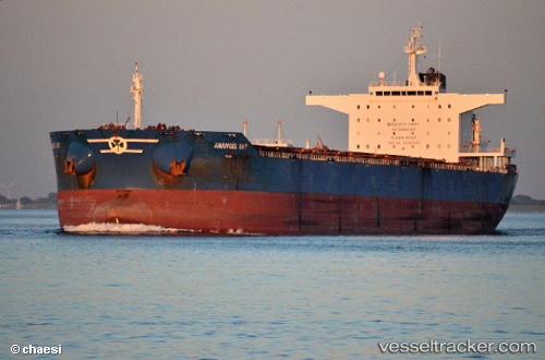
Vessel profile: MARINE HONOR is a Bulk Carrier with dimensions 43m x 250m.
This page combines live AIS, route history, probable destination signals, nearby traffic, and port activity for practical vessel monitoring.
The current position of vessel MARINE HONOR is 34.02694 lat / 127.99371 lng. Updated: 2026-05-19 13:03:34 UTCNearest reference points:
- 35 nm E of Geomundo
- 25 nm S of Kukdo
- 12 nm E of Geomundo
Currently sailing under the flag of Liberia ![]()
MARINE HONOR built in 2011 year
Deadweight:
114078 tDetails:
Live Vessel MARINE HONOR Analytics (details, animations, etc.)
Recent AIS points (UTC):
2026-05-19 09:33:32 UTC · 34.02435, 127.99768 · SOG 0.2 kn · COG 326°2026-05-19 11:12:33 UTC · 34.02562, 127.99415 · SOG 0.1 kn · COG 89°
2026-05-19 11:27:31 UTC · 34.02562, 127.99399 · SOG 0 kn · COG 83°
2026-05-19 13:03:34 UTC · 34.02694, 127.99371 · SOG 0 kn · COG 107°