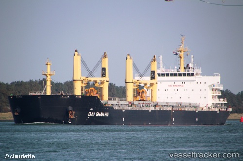
 DAI SHAN HAI
Current Status
Where is the vessel?
DAI SHAN HAI is currently in 13 nm W of NASSIT, based on AIS data received about 15h ago.
Latest AIS update:
Current position: 8.45800° N, 13.44445° W (13 nm W of NASSIT)
Average speed (last 7 days): Loading…
Average speed (last 30 days): Loading…
Vessel profile: DAI SHAN HAI is a Bulk Carrier with dimensions m x m.
This page combines live AIS, route history, probable destination signals, nearby traffic, and port activity for practical vessel monitoring.
The current position of vessel DAI SHAN HAI is 8.45800 lat / -13.44445 lng. Updated: 2026-05-19 01:31:17 UTCNearest reference points:
- Near NASSIT
- Near Kissy
- 28 nm S of Conakry
Currently sailing under the flag of Liberia ![]()
Details:
Live Vessel DAI SHAN HAI Analytics (details, animations, etc.)
Recent AIS points (UTC):
2026-05-18 23:10:16 UTC · 8.45818, -13.44380 · SOG 0.3 kn · COG 352°2026-05-18 23:37:25 UTC · 8.45825, -13.44473 · SOG 0 kn · COG 20°
2026-05-19 01:31:17 UTC · 8.45800, -13.44445 · SOG 0 kn · COG 7°
2026-05-19 01:31:17 UTC · 8.45800, -13.44445 · SOG 0 kn · COG 7°