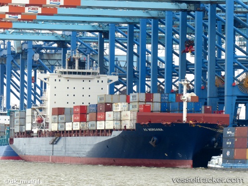
 SM SEOUL
Current Status
Where is the vessel?
SM SEOUL is currently in 37 nm S of TOKACHI, based on AIS data received about 15h ago.
Latest AIS update:
Current position: 41.68465° N, 143.26530° E (37 nm S of TOKACHI)
Average speed (last 7 days): Loading…
Average speed (last 30 days): Loading…
Vessel profile: SM SEOUL is a Container Ship with dimensions m x m.
This page combines live AIS, route history, probable destination signals, nearby traffic, and port activity for practical vessel monitoring.
The current position of vessel SM SEOUL is 41.68465 lat / 143.26530 lng. Updated: 2026-05-22 04:03:38 UTCNearest reference points:
- Near Kushiro
- 26 nm E of Hachinohe
- Near NISHI
Currently sailing under the flag of South Korea ![]()
Details:
Live Vessel SM SEOUL Analytics (details, animations, etc.)
Recent AIS points (UTC):
2026-05-22 01:36:15 UTC · 41.61230, 142.49445 · SOG 14.4 kn · COG 90°2026-05-22 01:45:09 UTC · 41.61296, 142.54189 · SOG 14.3 kn · COG 90°
2026-05-22 03:54:39 UTC · 41.67196, 143.21947 · SOG 14.6 kn · COG 68°
2026-05-22 04:03:38 UTC · 41.68465, 143.26530 · SOG 14.4 kn · COG 68°