 HL SALDANHA BAY
Current Status
Where is the vessel?
HL SALDANHA BAY is currently in Near Hatch Point, based on AIS data received about 15h ago.
Latest AIS update:
Current position: 48.72585° N, 123.55280° W (Near Hatch Point)
Average speed (last 7 days): Loading…
Average speed (last 30 days): Loading…
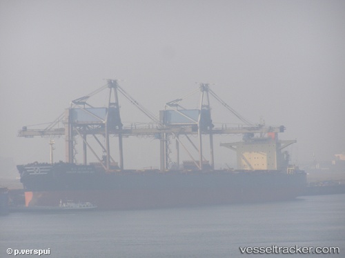
Vessel profile: HL SALDANHA BAY is a Bulk Carrier with dimensions m x m.
This page combines live AIS, route history, probable destination signals, nearby traffic, and port activity for practical vessel monitoring.
The current position of vessel HL SALDANHA BAY is 48.72585 lat / -123.55280 lng. Updated: 2026-05-19 16:41:02 UTCNearest reference points:
- Near North Saanich
- Near Salt Spring Island
- Near GANGES
Currently sailing under the flag of Liberia ![]()
Details:
Live Vessel HL SALDANHA BAY Analytics (details, animations, etc.)
Recent AIS points (UTC):
2026-05-19 13:17:03 UTC · 48.72633, -123.55143 · SOG 0 kn · COG 327°2026-05-19 14:08:02 UTC · 48.72632, -123.55140 · SOG 0 kn · COG 328°
2026-05-19 16:23:04 UTC · 48.72585, -123.55305 · SOG 0 kn · COG 354°
2026-05-19 16:41:02 UTC · 48.72585, -123.55280 · SOG 0.1 kn · COG 344°