 vesseltracker.com
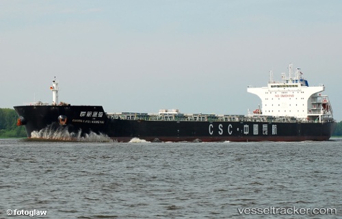
 LC PORTHOS
Current Status
Where is the vessel?
LC PORTHOS is currently in Near Marmagao, based on AIS data received about 14h ago.
Latest AIS update:
Current position: 15.41369° N, 73.79775° E (Near Marmagao)
Average speed (last 7 days): Loading…
Average speed (last 30 days): Loading…
Vessel profile: LC PORTHOS is a Bulk Carrier with dimensions m x m.
This page combines live AIS, route history, probable destination signals, nearby traffic, and port activity for practical vessel monitoring.
The current position of vessel LC PORTHOS is 15.41369 lat / 73.79775 lng. Updated: 2026-05-18 14:27:04 UTCNearest reference points:
- Near Vasco da Gama
- 49 nm W of Pernem
- 89 nm W of Marmagao (Marmugao)
Currently sailing under the flag of Liberia ![]()
Details:
Live Vessel LC PORTHOS Analytics (details, animations, etc.)
Recent AIS points (UTC):
2026-05-18 10:06:02 UTC · 15.41366, 73.79776 · SOG 0 kn · COG 306°2026-05-18 11:33:02 UTC · 15.41366, 73.79776 · SOG 0 kn · COG 316°
2026-05-18 14:00:07 UTC · 15.41368, 73.79777 · SOG 0 kn · COG 306°
2026-05-18 14:27:04 UTC · 15.41369, 73.79775 · SOG 0 kn · COG 306°