 ISLAND INTERVENTION
Current Status
Where is the vessel?
ISLAND INTERVENTION is currently in 47 nm S of TEBIG, based on AIS data received about 14h ago.
Latest AIS update:
Current position: 23.84545° S, 44.27610° W (47 nm S of TEBIG)
Average speed (last 7 days): Loading…
Average speed (last 30 days): Loading…
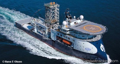
Vessel profile: ISLAND INTERVENTION is a Well Stimulation Vessel with dimensions m x m.
This page combines live AIS, route history, probable destination signals, nearby traffic, and port activity for practical vessel monitoring.
The current position of vessel ISLAND INTERVENTION is -23.84545 lat / -44.27610 lng. Updated: 2026-05-22 23:33:13 UTCNearest reference points:
- 61 nm S of TEBIG
- 49 nm S of SEPETIBA
- Near ILHA GUAIBA
Details:
Live Vessel ISLAND INTERVENTION Analytics (details, animations, etc.)
Recent AIS points (UTC):
2026-05-22 19:44:25 UTC · -23.24631, -44.45460 · SOG 9.9 kn · COG 135°2026-05-22 21:49:13 UTC · -23.56562, -44.32464 · SOG 10 kn · COG 169°
2026-05-22 22:22:38 UTC · -23.65632, -44.30512 · SOG 9.6 kn · COG 169°
2026-05-22 23:33:13 UTC · -23.84545, -44.27610 · SOG 10 kn · COG 178°