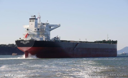
 MINH PROVIDENCE
Current Status
Where is the vessel?
MINH PROVIDENCE is currently in 46 nm S of Daikoku Island, based on AIS data received about 15h ago.
Latest AIS update:
Current position: 42.18372° N, 144.95496° E (46 nm S of Daikoku Island)
Average speed (last 7 days): Loading…
Average speed (last 30 days): Loading…
Vessel profile: MINH PROVIDENCE is a Bulk Carrier with dimensions m x m.
This page combines live AIS, route history, probable destination signals, nearby traffic, and port activity for practical vessel monitoring.
The current position of vessel MINH PROVIDENCE is 42.18372 lat / 144.95496 lng. Updated: 2026-06-03 22:13:38 UTCNearest reference points:
- Near Kushiro
- Near NISHI
- 27 nm SE of Tomari
Currently sailing under the flag of Marshall Islands ![]()
Details:
Live Vessel MINH PROVIDENCE Analytics (details, animations, etc.)
Recent AIS points (UTC):
2026-06-03 18:32:28 UTC · 41.94212, 144.23608 · SOG 9.5 kn · COG 62°2026-06-03 19:47:35 UTC · 42.02658, 144.47888 · SOG 9.6 kn · COG 62°
2026-06-03 22:00:09 UTC · 42.16862, 144.91127 · SOG 9.5 kn · COG 64°
2026-06-03 22:13:38 UTC · 42.18372, 144.95496 · SOG 9.6 kn · COG 64°