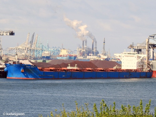
 CAPE PROTEUS
Current Status
Where is the vessel?
CAPE PROTEUS is currently in 67 nm NE of Belitung, based on AIS data received about 16h ago.
Latest AIS update:
Current position: 2.39392° S, 108.93555° E (67 nm NE of Belitung)
Average speed (last 7 days): Loading…
Average speed (last 30 days): Loading…
Vessel profile: CAPE PROTEUS is a Bulk Carrier with dimensions m x m.
This page combines live AIS, route history, probable destination signals, nearby traffic, and port activity for practical vessel monitoring.
The current position of vessel CAPE PROTEUS is -2.39392 lat / 108.93555 lng. Updated: 2026-05-20 20:41:10 UTCNearest reference points:
- 39 nm NW of Kendawangan
- 45 nm SW of Kendawangan
- 62 nm NE of Belitung
Currently sailing under the flag of Liberia ![]()
Details:
Live Vessel CAPE PROTEUS Analytics (details, animations, etc.)
Recent AIS points (UTC):
2026-05-20 17:34:12 UTC · -2.16340, 108.42443 · SOG 11.6 kn · COG 138°2026-05-20 20:41:10 UTC · -2.39392, 108.93555 · SOG 12.1 kn · COG 135°
2026-05-20 20:41:10 UTC · -2.39392, 108.93555 · SOG 12.1 kn · COG 135°
2026-05-20 20:41:10 UTC · -2.39392, 108.93555 · SOG 12.1 kn · COG 135°