 ELEVIT
Current Status
Where is the vessel?
ELEVIT is currently in Near Nemrut Bay, based on AIS data received about 15h ago.
Latest AIS update:
Current position: 38.78866° N, 26.84905° E (Near Nemrut Bay)
Average speed (last 7 days): Loading…
Average speed (last 30 days): Loading…
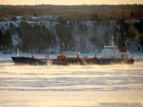
Vessel profile: ELEVIT is a Oil/Chemical Tanker with dimensions m x m.
This page combines live AIS, route history, probable destination signals, nearby traffic, and port activity for practical vessel monitoring.
The current position of vessel ELEVIT is 38.78866 lat / 26.84905 lng. Updated: 2026-05-19 11:59:34 UTCNearest reference points:
- Near Nemrut Bay
- Near NEMRUT
- Near Aliaga
Currently sailing under the flag of Turkey ![]()
Details:
Live Vessel ELEVIT Analytics (details, animations, etc.)
Recent AIS points (UTC):
2026-05-19 08:21:03 UTC · 38.74597, 26.58465 · SOG 0.5 kn · COG 297°2026-05-19 10:05:54 UTC · 38.73293, 26.58539 · SOG 6.2 kn · COG 64°
2026-05-19 10:08:44 UTC · 38.73522, 26.59229 · SOG 8.3 kn · COG 65°
2026-05-19 11:59:34 UTC · 38.78866, 26.84905 · SOG 5.2 kn · COG 91°