 OLIVIA
Current Status
Where is the vessel?
OLIVIA is currently in Near Shidao Pt, based on AIS data received about 14h ago.
Latest AIS update:
Current position: 36.84013° N, 122.26379° E (Near Shidao Pt)
Average speed (last 7 days): Loading…
Average speed (last 30 days): Loading…
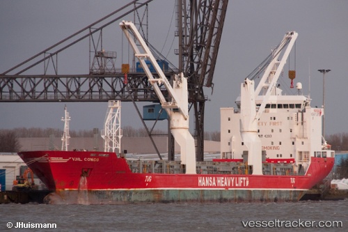
Vessel profile: OLIVIA is a General Cargo with dimensions m x m.
This page combines live AIS, route history, probable destination signals, nearby traffic, and port activity for practical vessel monitoring.
The current position of vessel OLIVIA is 36.84013 lat / 122.26379 lng. Updated: 2026-05-19 01:58:31 UTCNearest reference points:
- 12 nm W of Shidao Pt
- Near Shidao Pt
- Near SHIDAO
Currently sailing under the flag of Liberia ![]()
Details:
Live Vessel OLIVIA Analytics (details, animations, etc.)
Recent AIS points (UTC):
2026-05-18 22:43:29 UTC · 36.84008, 122.26367 · SOG 0 kn · COG -1°2026-05-18 23:22:29 UTC · 36.84011, 122.26374 · SOG 0 kn · COG -1°
2026-05-19 01:43:30 UTC · 36.84012, 122.26377 · SOG 0 kn · COG -1°
2026-05-19 01:58:31 UTC · 36.84013, 122.26379 · SOG 0 kn · COG -1°