 ATALANDI
Current Status
Where is the vessel?
ATALANDI is currently in Open sea (no nearby ports in database), based on AIS data received about 14h ago.
Latest AIS update:
Current position: 2.95895° S, 82.49555° E (Open sea (no nearby ports in database))
Average speed (last 7 days): Loading…
Average speed (last 30 days): Loading…
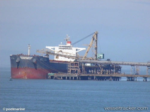
Vessel profile: ATALANDI is a Bulk Carrier with dimensions 45m x 292m.
This page combines live AIS, route history, probable destination signals, nearby traffic, and port activity for practical vessel monitoring.
The current position of vessel ATALANDI is -2.95895 lat / 82.49555 lng. Updated: 2026-05-22 07:26:44 UTCNearest reference points:
- Open sea (no nearby ports in database)
Currently sailing under the flag of Malta ![]()
ATALANDI built in 2010 year
Deadweight:
179329 tDetails:
Live Vessel ATALANDI Analytics (details, animations, etc.)
Recent AIS points (UTC):
2026-05-22 04:01:01 UTC · -3.35802, 81.96787 · SOG 11.6 kn · COG 54°2026-05-22 04:55:10 UTC · -3.25253, 82.10697 · SOG 11.5 kn · COG 55°
2026-05-22 05:05:43 UTC · -3.23217, 82.13372 · SOG 11.5 kn · COG 54°
2026-05-22 07:26:44 UTC · -2.95895, 82.49555 · SOG 11.8 kn · COG 53°