 PAROS
PAROS
Current Status
Where is the vessel?
PAROS is currently in 210 nm SE of Richards Bay, based on AIS data received about 14h ago.
Latest AIS update:
Current position: 30.96450° S, 35.33560° E (210 nm SE of Richards Bay)
Average speed (last 7 days): Loading…
Average speed (last 30 days): Loading…
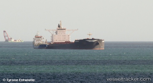
Vessel profile: PAROS is a Bulk Carrier with dimensions m x m.
This page combines live AIS, route history, probable destination signals, nearby traffic, and port activity for practical vessel monitoring.
The current position of vessel PAROS is -30.96450 lat / 35.33560 lng. Updated: 2026-05-21 19:24:58 UTCNearest reference points:
- 163 nm SE of Richards Bay
- 181 nm SE of Hibberdene
- 42 nm E of Richards Bay
Currently sailing under the flag of Liberia ![]()
Details:
Live Vessel PAROS Analytics (details, animations, etc.)
Recent AIS points (UTC):
2026-05-21 16:19:37 UTC · -31.17897, 34.73383 · SOG 11.2 kn · COG 68°2026-05-21 17:48:48 UTC · -31.05707, 35.02773 · SOG 11 kn · COG 73°
2026-05-21 19:13:57 UTC · -30.97510, 35.30175 · SOG 10.2 kn · COG 70°
2026-05-21 19:24:58 UTC · -30.96450, 35.33560 · SOG 10.1 kn · COG 70°