 LOUISE
Current Status
Where is the vessel?
LOUISE is currently in 68 nm N of Guamaré, based on AIS data received about 14h ago.
Latest AIS update:
Current position: 3.97701° S, 36.22194° W (68 nm N of Guamaré)
Average speed (last 7 days): Loading…
Average speed (last 30 days): Loading…
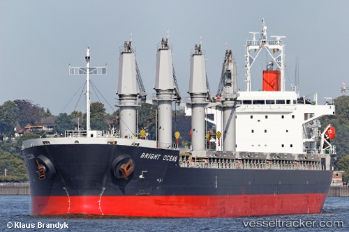
Vessel profile: LOUISE is a Bulk Carrier with dimensions m x m.
This page combines live AIS, route history, probable destination signals, nearby traffic, and port activity for practical vessel monitoring.
The current position of vessel LOUISE is -3.97701 lat / -36.22194 lng. Updated: 2026-05-20 05:55:10 UTCNearest reference points:
- 20 nm E of Natal
Currently sailing under the flag of Marshall Islands ![]()
Details:
Live Vessel LOUISE Analytics (details, animations, etc.)
Recent AIS points (UTC):
2026-05-20 02:09:11 UTC · -4.43684, -35.49314 · SOG 13.6 kn · COG 305°2026-05-20 03:21:21 UTC · -4.29490, -35.72378 · SOG 13.7 kn · COG 304°
2026-05-20 04:33:22 UTC · -4.14825, -35.95312 · SOG 13.7 kn · COG 305°
2026-05-20 05:55:10 UTC · -3.97701, -36.22194 · SOG 14.1 kn · COG 301°