 ELIKI
ELIKI
Current Status
Where is the vessel?
ELIKI is currently in 63 nm SE of Bianco, based on AIS data received about 14h ago.
Latest AIS update:
Current position: 37.29737° N, 17.02482° E (63 nm SE of Bianco)
Average speed (last 7 days): Loading…
Average speed (last 30 days): Loading…
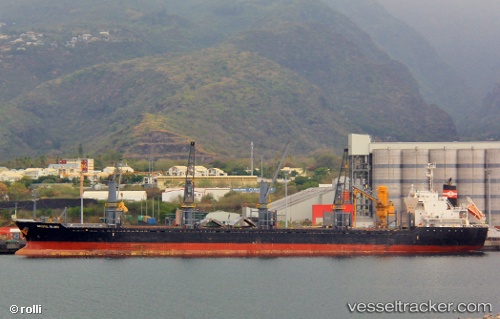
Vessel profile: ELIKI is a Bulk Carrier with dimensions m x m.
This page combines live AIS, route history, probable destination signals, nearby traffic, and port activity for practical vessel monitoring.
The current position of vessel ELIKI is 37.29737 lat / 17.02482 lng. Updated: 2026-05-21 05:54:19 UTCNearest reference points:
- 29 nm E of Licodia Eubea
- 24 nm SE of Bianco
- 53 nm NE of Ryuo
Currently sailing under the flag of Liberia ![]()
Details:
Live Vessel ELIKI Analytics (details, animations, etc.)
Recent AIS points (UTC):
2026-05-21 01:42:16 UTC · 36.93252, 16.22071 · SOG 10.4 kn · COG 60°2026-05-21 04:04:19 UTC · 37.13689, 16.67342 · SOG 10.4 kn · COG 60°
2026-05-21 04:31:29 UTC · 37.17659, 16.75809 · SOG 10.4 kn · COG 60°
2026-05-21 05:54:19 UTC · 37.29737, 17.02482 · SOG 10.8 kn · COG 63°