 KENCANA BARUNA
Current Status
Where is the vessel?
KENCANA BARUNA is currently in 48 nm N of Camar Marine Terminal, based on AIS data received about 16h ago.
Latest AIS update:
Current position: 5.50431° S, 112.86363° E (48 nm N of Camar Marine Terminal)
Average speed (last 7 days): Loading…
Average speed (last 30 days): Loading…
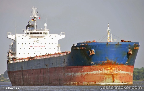
Vessel profile: KENCANA BARUNA is a Cargo with dimensions m x m.
This page combines live AIS, route history, probable destination signals, nearby traffic, and port activity for practical vessel monitoring.
The current position of vessel KENCANA BARUNA is -5.50431 lat / 112.86363 lng. Updated: 2026-05-23 06:04:03 UTCNearest reference points:
- 50 nm N of Camar Marine Terminal
- 60 nm NW of Camar Marine Terminal
- 25 nm NE of Camar Marine Terminal
Currently sailing under the flag of Indonesia ![]()
Details:
Live Vessel KENCANA BARUNA Analytics (details, animations, etc.)
Recent AIS points (UTC):
2026-05-23 05:03:20 UTC · -5.56032, 112.65494 · SOG 11.9 kn · COG 76°2026-05-23 06:04:03 UTC · -5.50431, 112.86363 · SOG 11.9 kn · COG 78°
2026-05-23 06:04:03 UTC · -5.50431, 112.86363 · SOG 11.9 kn · COG 78°
2026-05-23 06:04:03 UTC · -5.50431, 112.86363 · SOG 11.9 kn · COG 78°