 Penang Bridge
Current Status
Where is the vessel?
Penang Bridge is currently in 12 nm SW of Halki Dodekanison, based on AIS data received about 14h ago.
Latest AIS update:
Current position: 36.09408° N, 27.41213° E (12 nm SW of Halki Dodekanison)
Average speed (last 7 days): Loading…
Average speed (last 30 days): Loading…
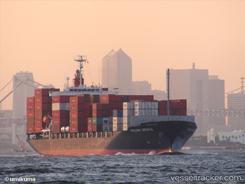
Vessel profile: Penang Bridge is a Container Ship with dimensions 172m x 28m.
This page combines live AIS, route history, probable destination signals, nearby traffic, and port activity for practical vessel monitoring.
The current position of vessel Penang Bridge is 36.09408 lat / 27.41213 lng. Updated: 2026-05-18 21:36:14 UTCNearest reference points:
- Near Datça
- 13 nm E of Nisiros
- 12 nm E of GYALI
Currently sailing under the flag of Panama ![]()
Penang Bridge built in 2009 year
Deadweight:
21927 tDetails:
Live Vessel Penang Bridge Analytics (details, animations, etc.)
Recent AIS points (UTC):
2026-05-18 18:22:21 UTC · 35.45200, 28.01775 · SOG 15.2 kn · COG 320°2026-05-18 19:31:03 UTC · 35.67630, 27.78957 · SOG 15.6 kn · COG 325°
2026-05-18 20:02:39 UTC · 35.78155, 27.68443 · SOG 15.3 kn · COG 323°
2026-05-18 21:36:14 UTC · 36.09408, 27.41213 · SOG 14.4 kn · COG 323°