 vesseltracker.com
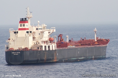
 SEA LA BAMBA
Current Status
Where is the vessel?
SEA LA BAMBA is currently in 12 nm E of Port Bolivar, based on AIS data received about 14h ago.
Latest AIS update:
Current position: 29.33150° N, 94.52385° W (12 nm E of Port Bolivar)
Average speed (last 7 days): Loading…
Average speed (last 30 days): Loading…
Vessel profile: SEA LA BAMBA is a Chemical Oil Products Tanker with dimensions 183m x 32m.
This page combines live AIS, route history, probable destination signals, nearby traffic, and port activity for practical vessel monitoring.
The current position of vessel SEA LA BAMBA is 29.33150 lat / -94.52385 lng. Updated: 2026-05-18 13:41:45 UTCNearest reference points:
- 12 nm SE of Port Bolivar
- Near Port Bolivar
- Near Texas City
Currently sailing under the flag of Liberia ![]()
SEA LA BAMBA built in 2009 year
Deadweight:
46093 tDetails:
Live Vessel SEA LA BAMBA Analytics (details, animations, etc.)
Recent AIS points (UTC):
2026-05-18 11:11:44 UTC · 29.33152, -94.52387 · SOG 0.2 kn · COG 123°2026-05-18 11:50:45 UTC · 29.33149, -94.52385 · SOG 0.1 kn · COG 120°
2026-05-18 13:29:47 UTC · 29.33156, -94.52382 · SOG 0.2 kn · COG 125°
2026-05-18 13:41:45 UTC · 29.33150, -94.52385 · SOG 0 kn · COG 122°