 ANTELAO
Current Status
Where is the vessel?
ANTELAO is currently in 22 nm NE of DALRYMPLE, based on AIS data received about 16h ago.
Latest AIS update:
Current position: 21.10580° S, 149.64337° E (22 nm NE of DALRYMPLE)
Average speed (last 7 days): Loading…
Average speed (last 30 days): Loading…
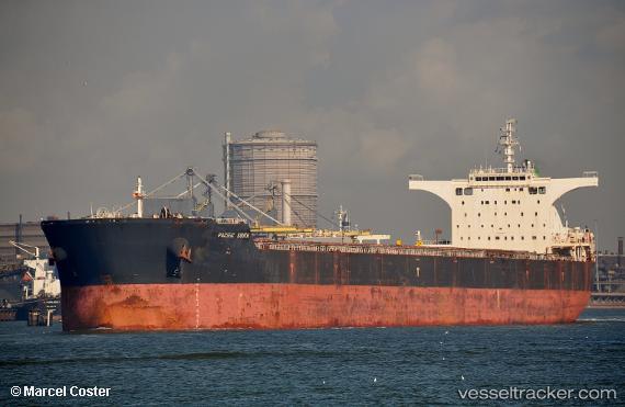
Vessel profile: ANTELAO is a Cargo with dimensions m x m.
This page combines live AIS, route history, probable destination signals, nearby traffic, and port activity for practical vessel monitoring.
The current position of vessel ANTELAO is -21.10580 lat / 149.64337 lng. Updated: 2026-05-22 19:31:03 UTCNearest reference points:
- Near Mackay
- Near Whitsunday Island
- Near AIRLIE
Currently sailing under the flag of Liberia ![]()
Details:
Live Vessel ANTELAO Analytics (details, animations, etc.)
Recent AIS points (UTC):
2026-05-22 17:01:03 UTC · -21.10763, 149.64188 · SOG 0 kn · COG 104°2026-05-22 18:25:03 UTC · -21.10595, 149.64337 · SOG 0.1 kn · COG 157°
2026-05-22 19:13:03 UTC · -21.10580, 149.64339 · SOG 0.1 kn · COG 161°
2026-05-22 19:31:03 UTC · -21.10580, 149.64337 · SOG 0.3 kn · COG 166°