 IDON
IDON
Current Status
Where is the vessel?
IDON is currently in 355 nm SW of Tsiombe, based on AIS data received about 15h ago.
Latest AIS update:
Current position: 30.27344° S, 41.85800° E (355 nm SW of Tsiombe)
Average speed (last 7 days): Loading…
Average speed (last 30 days): Loading…
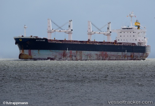
Vessel profile: IDON is a Bulk Carrier with dimensions m x m.
This page combines live AIS, route history, probable destination signals, nearby traffic, and port activity for practical vessel monitoring.
The current position of vessel IDON is -30.27344 lat / 41.85800 lng. Updated: 2026-05-23 01:41:20 UTCNearest reference points:
- 391 nm SW of Tsiombe
- Open sea, approx. 402 nm off the nearest listed port
- Open sea, approx. 400 nm off the nearest listed port
Currently sailing under the flag of Barbados ![]()
Details:
Live Vessel IDON Analytics (details, animations, etc.)
Recent AIS points (UTC):
2026-05-22 22:29:03 UTC · -30.53290, 41.24531 · SOG 11 kn · COG 61°2026-05-23 00:15:22 UTC · -30.38142, 41.58412 · SOG 11 kn · COG 65°
2026-05-23 01:26:02 UTC · -30.29291, 41.81033 · SOG 10.7 kn · COG 64°
2026-05-23 01:41:20 UTC · -30.27344, 41.85800 · SOG 10.4 kn · COG 64°