 Key South
Current Status
Where is the vessel?
Key South is currently in 11 nm W of Mölle, based on AIS data received about 14h ago.
Latest AIS update:
Current position: 56.29105° N, 12.17948° E (11 nm W of Mölle)
Average speed (last 7 days): Loading…
Average speed (last 30 days): Loading…
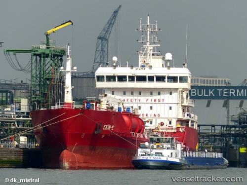
Vessel profile: Key South is a Chemical Oil Products Tanker with dimensions 109m x 17m.
This page combines live AIS, route history, probable destination signals, nearby traffic, and port activity for practical vessel monitoring.
The current position of vessel Key South is 56.29105 lat / 12.17948 lng. Updated: 2026-05-19 08:04:48 UTCNearest reference points:
- 11 nm NW of Tisvilde
- Near Viken
- Near HUNDESTED
Currently sailing under the flag of Malta ![]()
Key South built in 2010 year
Deadweight:
6412 tDetails:
Live Vessel Key South Analytics (details, animations, etc.)
Recent AIS points (UTC):
2026-05-19 04:14:07 UTC · 57.01419, 11.68081 · SOG 11.9 kn · COG 173°2026-05-19 06:03:18 UTC · 56.65809, 11.89199 · SOG 12.1 kn · COG 170°
2026-05-19 07:55:37 UTC · 56.31729, 12.14811 · SOG 12.2 kn · COG 147°
2026-05-19 08:04:48 UTC · 56.29105, 12.17948 · SOG 12.3 kn · COG 147°