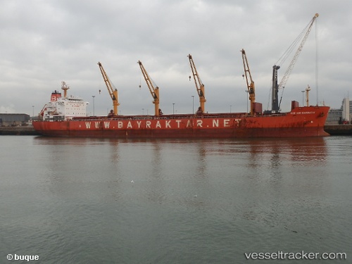
 ECE NUR BAYRAKTAR
Current Status
Where is the vessel?
ECE NUR BAYRAKTAR is currently in 336 nm S of Abakaliki, based on AIS data received about 17h ago.
Latest AIS update:
Current position: 0.89587° N, 87.34938° E (336 nm S of Abakaliki)
Average speed (last 7 days): Loading…
Average speed (last 30 days): Loading…
Vessel profile: ECE NUR BAYRAKTAR is a Bulk Carrier with dimensions m x m.
This page combines live AIS, route history, probable destination signals, nearby traffic, and port activity for practical vessel monitoring.
The current position of vessel ECE NUR BAYRAKTAR is 0.89587 lat / 87.34938 lng. Updated: 2026-05-20 00:48:17 UTCNearest reference points:
- 331 nm S of Abakaliki
- Open sea, approx. 400 nm off the nearest listed port
- Open sea, approx. 401 nm off the nearest listed port
Currently sailing under the flag of Marshall Islands ![]()
Details:
Live Vessel ECE NUR BAYRAKTAR Analytics (details, animations, etc.)
Recent AIS points (UTC):
2026-05-20 00:48:17 UTC · 0.89587, 87.34938 · SOG 11.2 kn · COG 39°2026-05-20 00:48:17 UTC · 0.89587, 87.34938 · SOG 11.2 kn · COG 39°
2026-05-20 00:48:17 UTC · 0.89587, 87.34938 · SOG 11.2 kn · COG 39°
2026-05-20 00:48:17 UTC · 0.89587, 87.34938 · SOG 11.2 kn · COG 39°