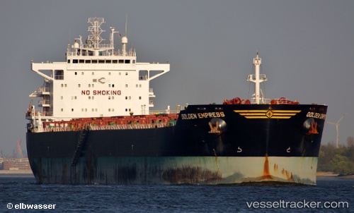
 CAPE KOURION
Current Status
Where is the vessel?
CAPE KOURION is currently in Near Tacoma, based on AIS data received about 14h ago.
Latest AIS update:
Current position: 47.26546° N, 122.44202° W (Near Tacoma)
Average speed (last 7 days): Loading…
Average speed (last 30 days): Loading…
Vessel profile: CAPE KOURION is a Bulk Carrier with dimensions 229m x 32m.
This page combines live AIS, route history, probable destination signals, nearby traffic, and port activity for practical vessel monitoring.
The current position of vessel CAPE KOURION is 47.26546 lat / -122.44202 lng. Updated: 2026-05-21 16:02:05 UTCNearest reference points:
- Near Tacoma
- Near Fife
- Near Fox Island
Currently sailing under the flag of Liberia ![]()
CAPE KOURION built in 2010 year
Deadweight:
79471 tDetails:
Live Vessel CAPE KOURION Analytics (details, animations, etc.)
Recent AIS points (UTC):
2026-05-21 12:20:04 UTC · 47.26562, -122.44217 · SOG 0 kn · COG 334°2026-05-21 13:50:06 UTC · 47.26532, -122.44193 · SOG 0 kn · COG 333°
2026-05-21 14:14:05 UTC · 47.26537, -122.44197 · SOG 0 kn · COG 334°
2026-05-21 16:02:05 UTC · 47.26546, -122.44202 · SOG 0 kn · COG 333°