 ANNA DOROTHEA
Current Status
Where is the vessel?
ANNA DOROTHEA is currently in Near Gebeng, based on AIS data received about 14h ago.
Latest AIS update:
Current position: 3.97029° N, 103.42339° E (Near Gebeng)
Average speed (last 7 days): Loading…
Average speed (last 30 days): Loading…
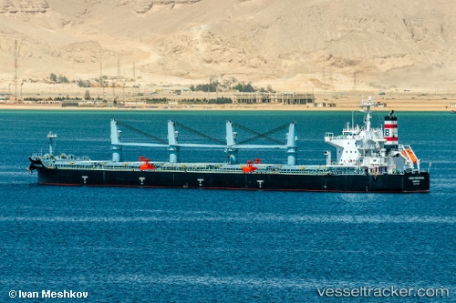
Vessel profile: ANNA DOROTHEA is a Bulk Carrier with dimensions m x m.
This page combines live AIS, route history, probable destination signals, nearby traffic, and port activity for practical vessel monitoring.
The current position of vessel ANNA DOROTHEA is 3.97029 lat / 103.42339 lng. Updated: 2026-05-22 21:20:38 UTCNearest reference points:
- Near Cukai
- Near KEMAMAN
- 29 nm SW of Dulang Marine Terminal
Currently sailing under the flag of Liberia ![]()
Details:
Live Vessel ANNA DOROTHEA Analytics (details, animations, etc.)
Recent AIS points (UTC):
2026-05-22 18:20:31 UTC · 3.97030, 103.42341 · SOG 0 kn · COG 252°2026-05-22 19:32:38 UTC · 3.97029, 103.42339 · SOG 0 kn · COG 252°
2026-05-22 19:35:34 UTC · 3.97030, 103.42339 · SOG 0 kn · COG 252°
2026-05-22 21:20:38 UTC · 3.97029, 103.42339 · SOG 0 kn · COG 252°